Feature reference (not a verified entrance)
Badab-e Surt
Last reviewed: not yet Next review
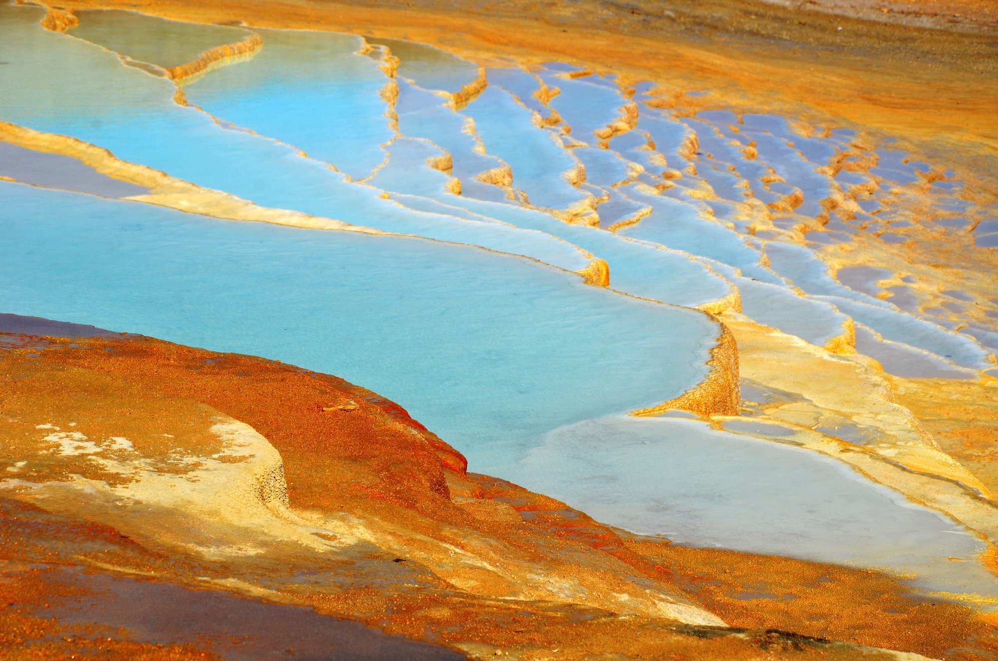
Orange and white travertine terraces stepping down an Iranian mountainside, built by two mineral springs.
Access
We haven't checked access for this place. Check the land manager's or local tourism site for hours, fees and closures, and stay off private or closed land.
Safety & respect
Stay on marked paths and behind barriers. Ground near caves, sinkholes, geysers and cliffs can be unstable or hot.
Lore note
Badab Surt lies at about 1,840 m in the mountains of Mazandaran. Over thousands of years, water from two mineral springs has cooled, given off carbon dioxide and left travertine in stepped pools down the slope. One spring is very salty and said to ease rheumatism, while the other is sour and stains the terraces orange with iron oxide. The name means something like gassed water.
Map links
Official / public map link · Approx. 36.3547, 53.8564: feature coordinate, not a checked entrance · Pin source: Wikipedia and Wikidata Q4840502 coordinates, cross-checked against the OpenStreetMap park feature for Badab-e Surt (within 0.1 km) and the photo's GPS
Sources
- Wikipedia, Badab-e Surt (CC BY-SA 4.0; read 12 Nov 2026): https://en.wikipedia.org/wiki/Badab-e_Surt
- Wikidata, Q4840502 (coordinate location P625, country P17; read 12 Nov 2026): https://www.wikidata.org/wiki/Q4840502
Badab Surt lies at about 1,840 m in the mountains of Mazandaran. Over thousands of years, water from two mineral springs has cooled, given off carbon dioxide and left travertine in stepped pools down the slope. One spring is very salty and said to ease rheumatism, while the other is sour and stains the terraces orange with iron oxide. The name means something like gassed water.
This entry is part of our world atlas. The summary above is written in our own words from the Wikipedia article, and the map pin uses published coordinates cross-checked against Wikidata. We haven’t visited this place or checked current access.