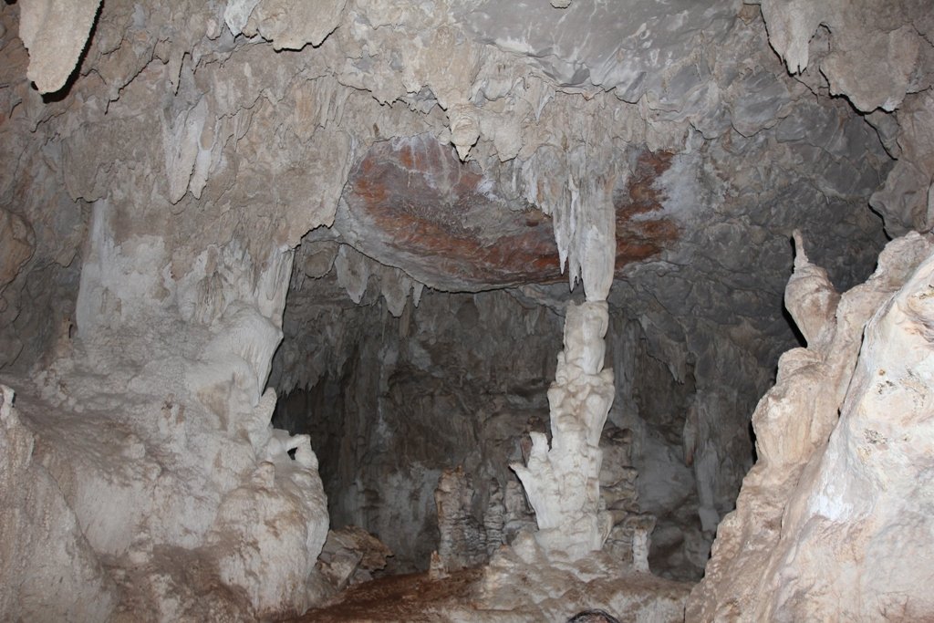
Candelaria Caves
Last reviewed: not yet Next review
A huge river cave system in Guatemala that Maya tradition calls an entrance to the underworld and that still hosts Maya ceremonies.
Access
We haven't checked access for this place. Check the land manager's or local tourism site for hours, fees and closures, and stay off private or closed land.
Safety & respect
Stay on marked paths and behind barriers. Ground near caves, sinkholes, geysers and cliffs can be unstable or hot. Sacred site: cultural warning. Respect religious use, dress and behave as local custom asks, and photograph people or rites only with permission.
Lore note
The Candelaria River runs for about 12 km through the main gallery, and the whole system may exceed 80 km. Collapsed roofs let daylight into some halls. Pottery and paintings show the Classic Maya used the caves for ceremonies, the K'iche' Popol Vuh treats them as a way into the underworld, and some are still used for Maya rites. Local Q'eqchi' communities manage visits to the caves, which became a national park in 1999.
Sources
- Wikipedia, Candelaria Caves (CC BY-SA 4.0; read 12 Nov 2026): https://en.wikipedia.org/wiki/Candelaria_Caves
- Wikidata, Q5031651 (coordinate location P625, country P17; read 12 Nov 2026): https://www.wikidata.org/wiki/Q5031651
The Candelaria River runs for about 12 km through the main gallery, and the whole system may exceed 80 km. Collapsed roofs let daylight into some halls. Pottery and paintings show the Classic Maya used the caves for ceremonies, the K’iche’ Popol Vuh treats them as a way into the underworld, and some are still used for Maya rites. Local Q’eqchi’ communities manage visits to the caves, which became a national park in 1999.
This entry is part of our world atlas. The summary above is written in our own words from the Wikipedia article, with details checked against Wikidata. It is not shown on the site map. Caves still used for Maya ceremonies: no pin, by our sacred-site convention. We haven’t visited this place or checked current access.