Feature reference (not a verified entrance)
Caves of Hotton
Last reviewed: not yet Next review
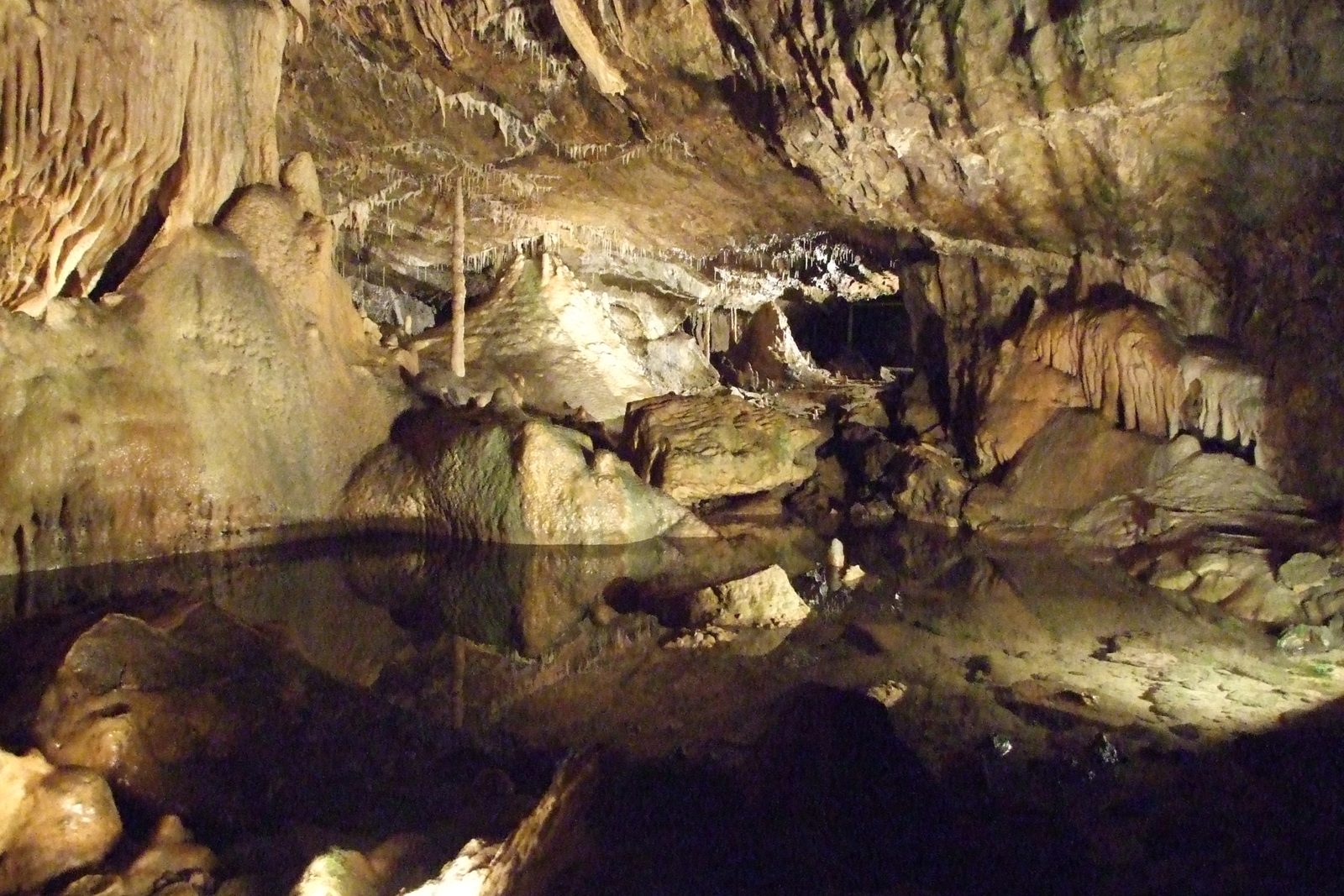
A show cave in Hotton, Belgium.
Access
We haven't checked access for this place. Check the land manager's or local tourism site for hours, fees and closures, and stay off private or closed land.
Safety & respect
Stay on marked paths and behind barriers. Ground near caves, sinkholes, geysers and cliffs can be unstable or hot.
Lore note
The Caves of Hotton are speleothem caves located in Wallonia near Hotton in Belgium, which were discovered in 1958 and are around 5 or 6 km long and 70 meters deep. A stream called Syphon runs at the bottom of the caves.
Map links
Official / public map link · Approx. 50.2592, 5.4559: feature coordinate, not a checked entrance · Pin source: Wikipedia article coordinates, cross-checked against Wikidata Q2294632 P625 (within 2 km)
Sources
- Wikipedia, Caves of Hotton (CC BY-SA 4.0; read 1 Nov 2026): https://en.wikipedia.org/wiki/Caves_of_Hotton
- Wikidata, Q2294632 (coordinate location P625, country P17; read 1 Nov 2026): https://www.wikidata.org/wiki/Q2294632
The Caves of Hotton are speleothem caves located in Wallonia near Hotton in Belgium, which were discovered in 1958 and are around 5 or 6 km long and 70 meters deep. A stream called Syphon runs at the bottom of the caves.
This entry is part of our world atlas. The summary above is adapted from the Wikipedia article (CC BY-SA 4.0), and the map pin uses the coordinates published there, cross-checked against Wikidata. We haven’t visited this place or checked current access.