Feature reference (not a verified entrance)
Cuicocha
Last reviewed: not yet Next review
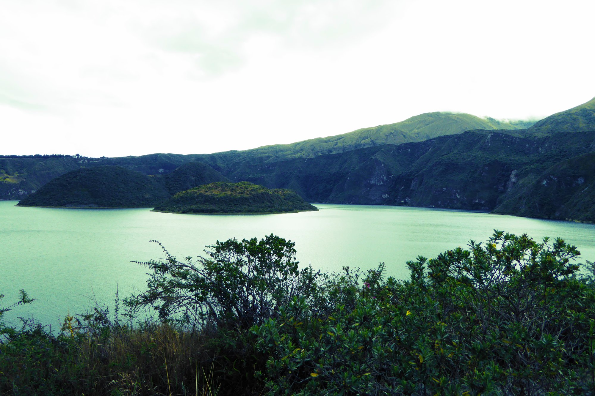
A 3 km wide caldera lake in the Ecuadorian Andes with two forested lava-dome islands nobody is allowed to set foot on.
Access
We haven't checked access for this place. Check the land manager's or local tourism site for hours, fees and closures, and stay off private or closed land.
Safety & respect
Stay on marked paths and behind barriers. Ground near caves, sinkholes, geysers and cliffs can be unstable or hot.
Lore note
Cuicocha formed about 3,100 years ago when a huge eruption at the foot of Cotacachi Volcano collapsed into a caldera, and activity carried on until around 650 CE. The crater lake is about 200 m deep and strongly alkaline, and four lava domes rise from it as two steep islands, Yerovi and Teodoro Wolf, where people are not permitted. The Kichwa name is usually read as guinea pig lake, after the shape of the larger island, and is also given as rainbow lake.
Map links
Official / public map link · Approx. 0.3006, -78.3628: feature coordinate, not a checked entrance · Pin source: Wikidata Q1143300 P625, cross-checked against the OpenStreetMap lake feature for Laguna de Cuicocha (within 0.7 km). The Wikipedia point is rounded to two decimals, so we used Wikidata
Sources
- Wikipedia, Cuicocha (CC BY-SA 4.0; read 12 Nov 2026): https://en.wikipedia.org/wiki/Cuicocha
- Wikidata, Q1143300 (coordinate location P625, country P17; read 12 Nov 2026): https://www.wikidata.org/wiki/Q1143300
Cuicocha formed about 3,100 years ago when a huge eruption at the foot of Cotacachi Volcano collapsed into a caldera, and activity carried on until around 650 CE. The crater lake is about 200 m deep and strongly alkaline, and four lava domes rise from it as two steep islands, Yerovi and Teodoro Wolf, where people are not permitted. The Kichwa name is usually read as guinea pig lake, after the shape of the larger island, and is also given as rainbow lake.
This entry is part of our world atlas. The summary above is written in our own words from the Wikipedia article, and the map pin uses published coordinates cross-checked against Wikidata. We haven’t visited this place or checked current access.