Feature reference (not a verified entrance)
Gomantong Caves
Last reviewed: not yet Next review
A cave system in a limestone hill in Sabah, Borneo, known for its swiftlet nests and nightly bat swarm.
Access
We haven't checked access for this place. Check the land manager's or local tourism site for hours, fees and closures, and stay off private or closed land.
Safety & respect
Stay on marked paths and behind barriers. Ground near caves, sinkholes, geysers and cliffs can be unstable or hot.
Lore note
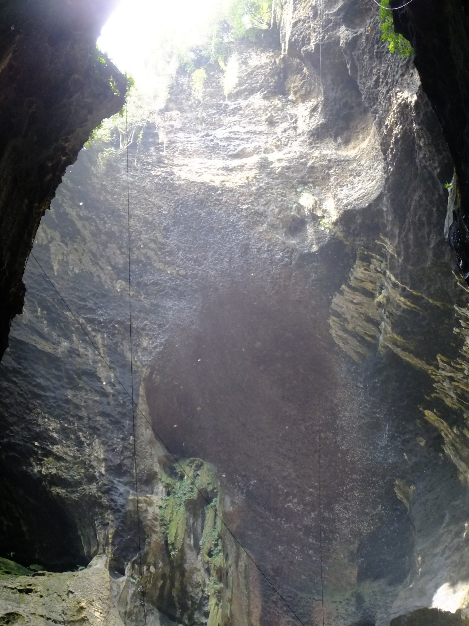
The Gomantong Caves lie inside the largest limestone outcrop of the lower Kinabatangan, in a forest reserve that shelters orangutans. Swiftlets build edible nests high on the walls, and licensed collectors climb to the roof on rattan ladders and ropes to harvest them, as people have for centuries. Every evening about a quarter of a million bats stream out of the cave, watched by bat hawks waiting to hunt them.
Map links
Official / public map link · Approx. 5.5167, 118.0670: feature coordinate, not a checked entrance · Pin source: Wikipedia article coordinates, cross-checked against Wikidata Q1536778 P625 (within 2 km)
Sources
- Wikipedia, Gomantong Caves (CC BY-SA 4.0; read 12 Nov 2026): https://en.wikipedia.org/wiki/Gomantong_Caves
- Wikidata, Q1536778 (coordinate location P625, country P17; read 12 Nov 2026): https://www.wikidata.org/wiki/Q1536778
The Gomantong Caves lie inside the largest limestone outcrop of the lower Kinabatangan, in a forest reserve that shelters orangutans. Swiftlets build edible nests high on the walls, and licensed collectors climb to the roof on rattan ladders and ropes to harvest them, as people have for centuries. Every evening about a quarter of a million bats stream out of the cave, watched by bat hawks waiting to hunt them.
This entry is part of our world atlas. The summary above is written in our own words from the Wikipedia article, and the map pin uses published coordinates cross-checked against Wikidata. We haven’t visited this place or checked current access.