Feature reference (not a verified entrance)
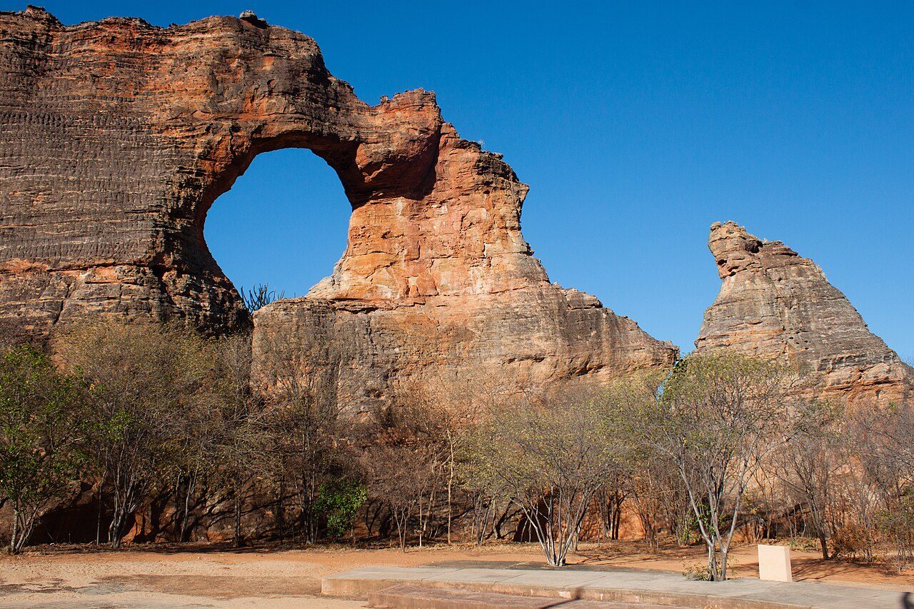
Pedra Furada
Last reviewed: not yet Next review
A rock formation in São Raimundo Nonato, Brazil.
Access
We haven't checked access for this place. Check the land manager's or local tourism site for hours, fees and closures, and stay off private or closed land.
Safety & respect
Stay on marked paths and behind barriers. Ground near caves, sinkholes, geysers and cliffs can be unstable or hot. Archaeological park rock art area: cultural/heritage awareness.
Lore note
Pedra Furada (Portuguese pronunciation: [ˈpɛdɾɐ fuˈɾadɐ], meaning pierced rock) is an important collection of over 800 archaeological sites in the state of Piauí, Brazil. These include hundreds of rock paintings dating from circa 12,000 years before present. More importantly, charcoal from very ancient fires and stone shards that may be interpreted as tools found at the location were dated from 48,000 to 32,000 years before present, suggesting the possibility of a human presence tens of thousand of years prior to the arrival of the Clovis people in North America (the latter dates are still under discussion, see Meltzer, 2021: 90-130).
Map links
Official / public map link · Approx. -8.8333, -42.5533: feature coordinate, not a checked entrance · Pin source: Wikipedia article coordinates, cross-checked against Wikidata Q2473573 P625 (within 2 km)
Sources
- Wikipedia, Pedra Furada (CC BY-SA 4.0; read 1 Nov 2026): https://en.wikipedia.org/wiki/Pedra_Furada
- Wikidata, Q2473573 (coordinate location P625, country P17; read 1 Nov 2026): https://www.wikidata.org/wiki/Q2473573
Pedra Furada (Portuguese pronunciation: [ˈpɛdɾɐ fuˈɾadɐ], meaning pierced rock) is an important collection of over 800 archaeological sites in the state of Piauí, Brazil. These include hundreds of rock paintings dating from circa 12,000 years before present. More importantly, charcoal from very ancient fires and stone shards that may be interpreted as tools found at the location were dated from 48,000 to 32,000 years before present, suggesting the possibility of a human presence tens of thousand of years prior to the arrival of the Clovis people in North America (the latter dates are still under discussion, see Meltzer, 2021: 90-130).
This entry is part of our world atlas. The summary above is adapted from the Wikipedia article (CC BY-SA 4.0), and the map pin uses the coordinates published there, cross-checked against Wikidata. We haven’t visited this place or checked current access.