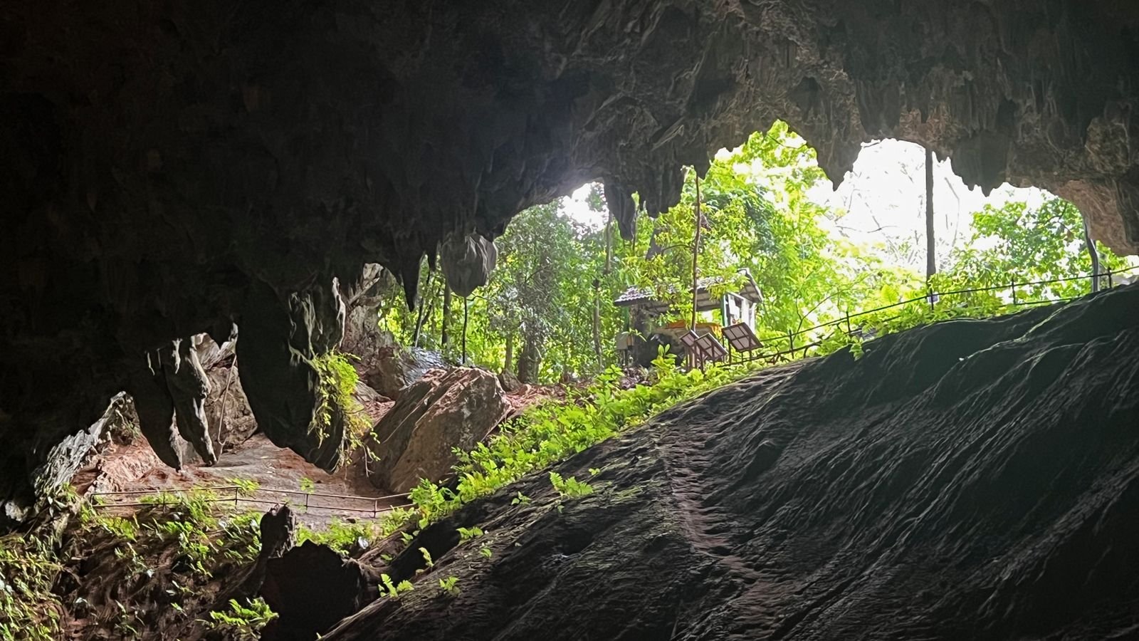
Feature reference (not a verified entrance)
Tham Luang Nang Non
Last reviewed: not yet Next review
The great cave of the sleeping lady in northern Thailand, where a youth football team was trapped by floods in 2018.
Access
We haven't checked access for this place. Check the land manager's or local tourism site for hours, fees and closures, and stay off private or closed land.
Safety & respect
Stay on marked paths and behind barriers. Ground near caves, sinkholes, geysers and cliffs can be unstable or hot.
Lore note
Tham Luang runs for kilometers beneath Doi Nang Non, the mountain of the sleeping lady, named for a local legend of a princess who fled into the cave, on the border with Myanmar. In June 2018 monsoon floods trapped twelve young footballers and their coach deep inside. They were found alive after nine days, and an international rescue brought all of them out by 10 July, though two Thai rescue divers died.
Map links
Official / public map link · Approx. 20.3812, 99.8676: feature coordinate, not a checked entrance · Pin source: Wikipedia article coordinates, cross-checked against Wikidata Q14752104 P625 (within 2 km)
Sources
- Wikipedia, Tham Luang Nang Non (CC BY-SA 4.0; read 12 Nov 2026): https://en.wikipedia.org/wiki/Tham_Luang_Nang_Non
- Wikidata, Q14752104 (coordinate location P625, country P17; read 12 Nov 2026): https://www.wikidata.org/wiki/Q14752104
Tham Luang runs for kilometers beneath Doi Nang Non, the mountain of the sleeping lady, named for a local legend of a princess who fled into the cave, on the border with Myanmar. In June 2018 monsoon floods trapped twelve young footballers and their coach deep inside. They were found alive after nine days, and an international rescue brought all of them out by 10 July, though two Thai rescue divers died.
This entry is part of our world atlas. The summary above is written in our own words from the Wikipedia article, and the map pin uses published coordinates cross-checked against Wikidata. We haven’t visited this place or checked current access.