Feature reference (not a verified entrance)
The Crooked House
Last reviewed: not yet Next review
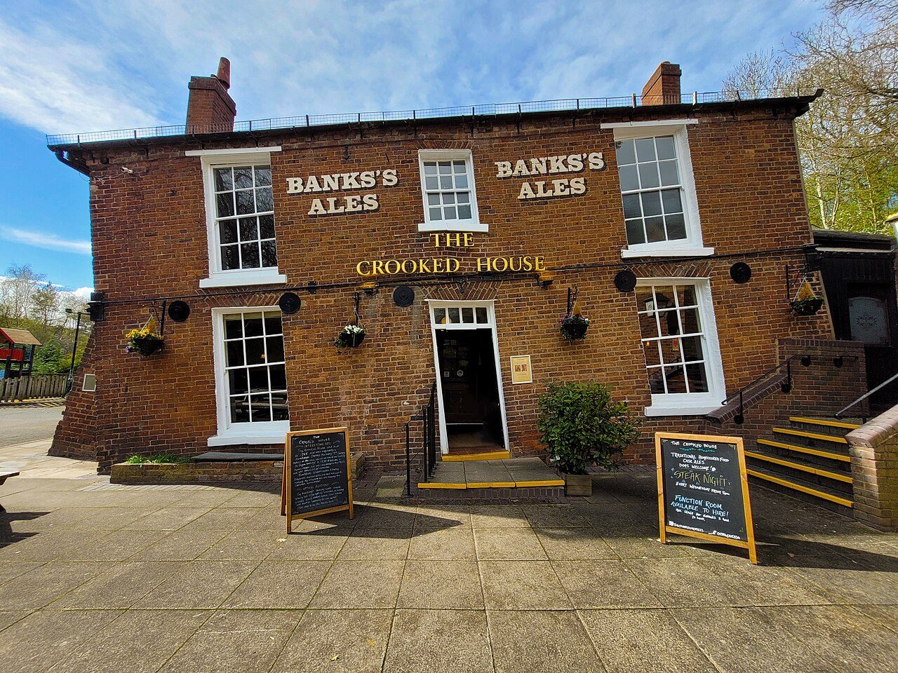
The Crooked House was a pub in South Staffordshire, England.
Access
We haven't checked access for this place. Check the land manager's or local tourism site for hours, fees and closures, and stay off private or closed land.
Safety & respect
Stay on marked paths and behind barriers. Ground near caves, sinkholes, geysers and cliffs can be unstable or hot.
Lore note
The Crooked House was a pub in South Staffordshire, England. Its name and distinctive appearance were the result of 19th-century mining subsidence which caused one side of the building to be approximately 4 feet (1.2 m) lower than the other. It was known as "Britain's wonkiest pub", and optical illusions inside the building made objects appear to roll uphill.
Map links
Official / public map link · Approx. 52.5151, -2.1524: feature coordinate, not a checked entrance · Pin source: Wikipedia article coordinates, cross-checked against Wikidata Q7728155 P625 (within 2 km)
Sources
- Wikipedia, The Crooked House (CC BY-SA 4.0; read 1 Nov 2026): https://en.wikipedia.org/wiki/The_Crooked_House
- Wikidata, Q7728155 (coordinate location P625, country P17; read 1 Nov 2026): https://www.wikidata.org/wiki/Q7728155
The Crooked House was a pub in South Staffordshire, England. Its name and distinctive appearance were the result of 19th-century mining subsidence which caused one side of the building to be approximately 4 feet (1.2 m) lower than the other. It was known as “Britain’s wonkiest pub”, and optical illusions inside the building made objects appear to roll uphill.
This entry is part of our world atlas. The summary above is adapted from the Wikipedia article (CC BY-SA 4.0), and the map pin uses the coordinates published there, cross-checked against Wikidata. We haven’t visited this place or checked current access.