Feature reference (not a verified entrance)
Tree of Life (Bahrain)
Last reviewed: not yet Next review
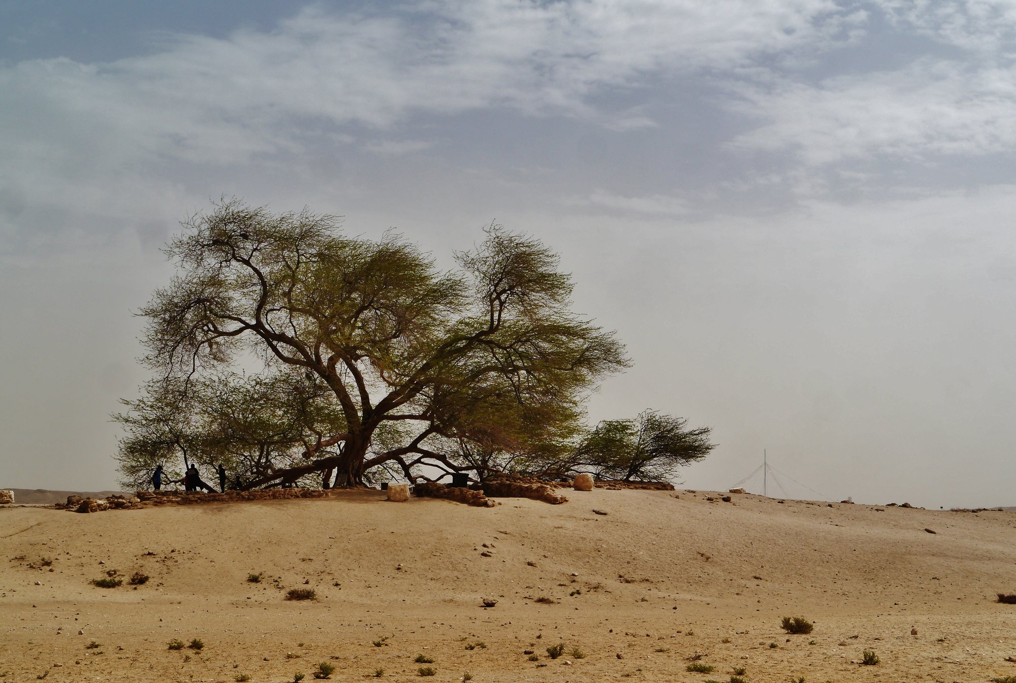
A lone tree over 400 years old, green on a bare desert hill in Bahrain, with no obvious source of water.
Access
We haven't checked access for this place. Check the land manager's or local tourism site for hours, fees and closures, and stay off private or closed land.
Safety & respect
Stay on marked paths and behind barriers. Ground near caves, sinkholes, geysers and cliffs can be unstable or hot.
Lore note
The Shajarat-al-Hayat is a mesquite about 10 m tall growing alone on a barren rise in the Arabian Desert, a few kilometers from Bahrain's highest point. Nobody is sure how it survives where almost no rain falls. Its roots may reach water some 50 m down, some think it draws moisture from the sand, and others say it stands in the Garden of Eden. Archaeologists found 500-year-old pottery nearby in 2010.
Map links
Official / public map link · Approx. 25.9941, 50.5832: feature coordinate, not a checked entrance · Pin source: Wikipedia article coordinates, cross-checked against Wikidata Q1542275 P625 and the OpenStreetMap tree node (within 0.1 km)
Sources
- Wikipedia, Tree of Life (Bahrain) (CC BY-SA 4.0; read 12 Nov 2026): https://en.wikipedia.org/wiki/Tree_of_Life_(Bahrain)
- Wikidata, Q1542275 (coordinate location P625, country P17; read 12 Nov 2026): https://www.wikidata.org/wiki/Q1542275
The Shajarat-al-Hayat is a mesquite about 10 m tall growing alone on a barren rise in the Arabian Desert, a few kilometers from Bahrain’s highest point. Nobody is sure how it survives where almost no rain falls. Its roots may reach water some 50 m down, some think it draws moisture from the sand, and others say it stands in the Garden of Eden. Archaeologists found 500-year-old pottery nearby in 2010.
This entry is part of our world atlas. The summary above is written in our own words from the Wikipedia article, and the map pin uses published coordinates cross-checked against Wikidata. We haven’t visited this place or checked current access.