Feature reference (not a verified entrance)
Vargeão Dome
Last reviewed: not yet Next review
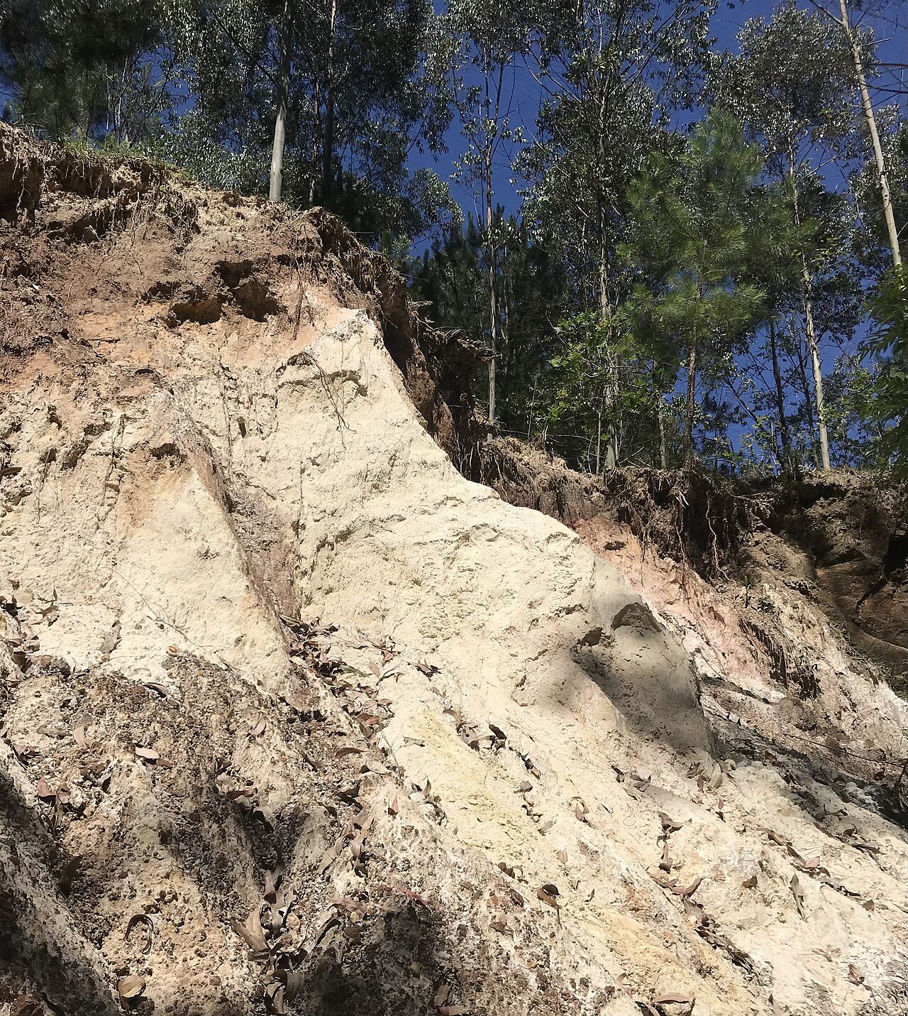
The Vargeão Dome, also known as the Vargeão crater, is a complex, partially eroded impact structure in western Santa Catarina, southern Brazil.
Access
We haven't checked access for this place. Check the land manager's or local tourism site for hours, fees and closures, and stay off private or closed land.
Safety & respect
Craters are often remote, with rough tracks and no shade or water. Tell someone your plans and don't collect rocks where it's forbidden.
Lore note
The Vargeão Dome, also known as the Vargeão crater, is a complex, partially eroded impact structure in western Santa Catarina, southern Brazil. It is about 12.4 km (7.7 mi) in diameter and extends across parts of the municipalities of Vargeão, Faxinal dos Guedes, and Passos Maia. The town of Vargeão lies inside the crater, close to its southern rim.
Map links
Official / public map link · Approx. -26.8167, -52.1667: feature coordinate, not a checked entrance · Pin source: Wikipedia article coordinates, cross-checked against Wikidata Q7915659 P625 (within 2 km)
Sources
- Wikipedia, Vargeão Dome (CC BY-SA 4.0; read 1 Nov 2026): https://en.wikipedia.org/wiki/Varge%C3%A3o_Dome
- Wikidata, Q7915659 (coordinate location P625, country P17; read 1 Nov 2026): https://www.wikidata.org/wiki/Q7915659
The Vargeão Dome, also known as the Vargeão crater, is a complex, partially eroded impact structure in western Santa Catarina, southern Brazil. It is about 12.4 km (7.7 mi) in diameter and extends across parts of the municipalities of Vargeão, Faxinal dos Guedes, and Passos Maia. The town of Vargeão lies inside the crater, close to its southern rim.
This entry is part of our world atlas. The summary above is adapted from the Wikipedia article (CC BY-SA 4.0), and the map pin uses the coordinates published there, cross-checked against Wikidata. We haven’t visited this place or checked current access.