Yangykala Canyon
Last reviewed: not yet Next review
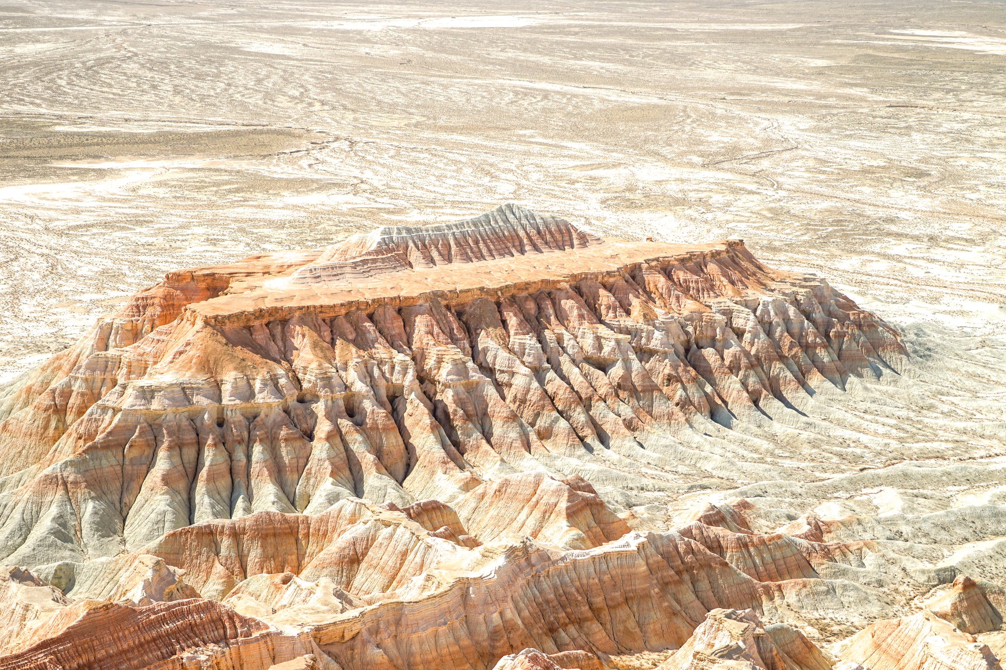
Red and white desert cliffs in northwest Turkmenistan, called the Fiery Fortresses, on the old bed of Garabogazköl.
Access
We haven't checked access for this place. Check the land manager's or local tourism site for hours, fees and closures, and stay off private or closed land.
Safety & respect
Stay on marked paths and behind barriers. Ground near caves, sinkholes, geysers and cliffs can be unstable or hot.
Lore note
Yangykala means fiery fortresses in Turkmen, and locals also call the area Gyzyl Dag, the red mountains, after its banded red, pink and white cliffs. The walls rise 60 to 100 m above a floor that was once covered by the waters of Garabogazköl, a vast lagoon off the Caspian Sea. The canyon lies far out in the desert, roughly 160 km from Turkmenbashi.
Sources
- Wikipedia, Yangykala Canyon (CC BY-SA 4.0; read 12 Nov 2026): https://en.wikipedia.org/wiki/Yangykala_Canyon
- Wikidata, Q56295634 (coordinate location P625, country P17; read 12 Nov 2026): https://www.wikidata.org/wiki/Q56295634
Yangykala means fiery fortresses in Turkmen, and locals also call the area Gyzyl Dag, the red mountains, after its banded red, pink and white cliffs. The walls rise 60 to 100 m above a floor that was once covered by the waters of Garabogazköl, a vast lagoon off the Caspian Sea. The canyon lies far out in the desert, roughly 160 km from Turkmenbashi.
This entry is part of our world atlas. The summary above is written in our own words from the Wikipedia article, with details checked against Wikidata. It is not shown on the site map. Published coordinates disagree by about 27 km and we found no independent check, so we have not placed a pin. We haven’t visited this place or checked current access.