Published site coordinates
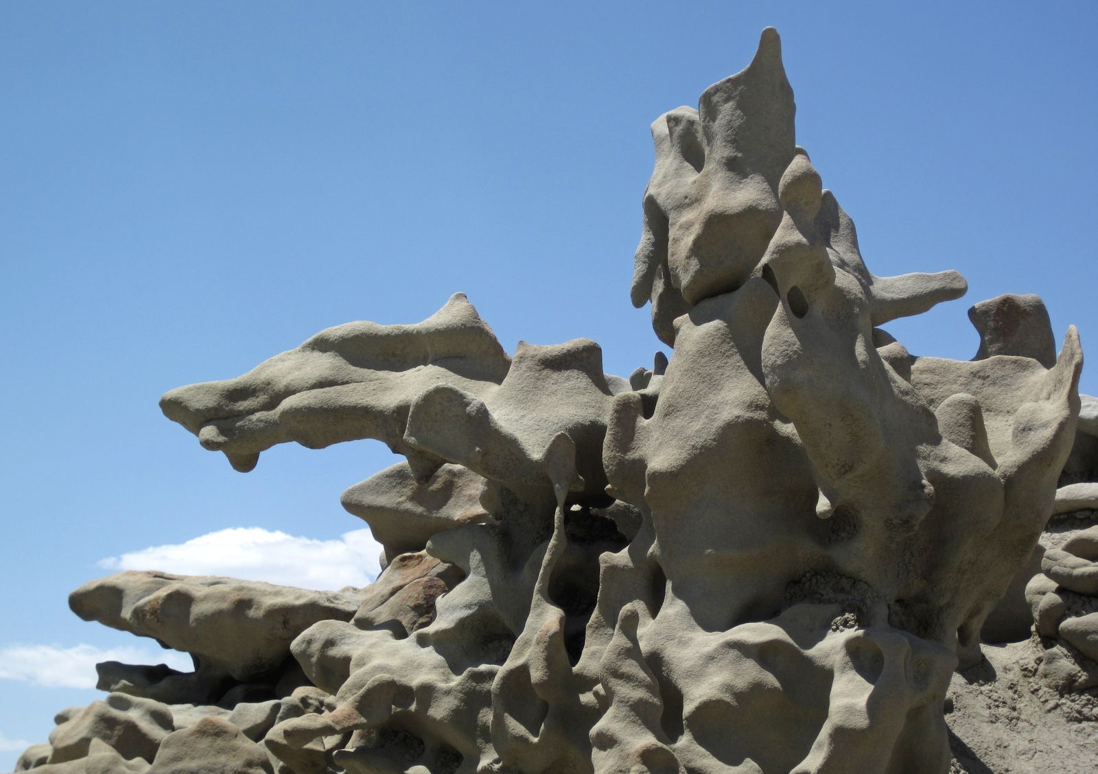
Fantasy Canyon (BLM) · Uintah Basin
Last reviewed Next review
Public BLM geologic day-use south of Vernal: surreal hoodoos beside Basin UFO lore, without Skinwalker Ranch access.
Access
Public BLM day-use geologic site. Recreation listings cite approx. 40.05783, −109.39428: verify on the official BLM visit page before navigating. Unpaved approach roads can be impassable when wet; contact Vernal Field Office for conditions. CRITICAL: Skinwalker Ranch is private, secured, and not public; do not approach ranch gates or trespass.
Safety & respect
Fragile formations: no climbing delicate fins. Heat. Respect Ute Reservation boundaries. No ranch approach, no roadside blocking for ‘haunted property’ tourism.
Lore note
Uintah Basin ‘UFO Alley’ / Skinwalker media lore is regional storytelling. The ranch itself is closed private research property. This entry is Basin public land and folklore context only.
Map links
Official / public map link · Approx. 40.0578, -109.3943: public reference only; verify on official maps before travel
Sources
- BLM, Fantasy Canyon (checked 25 Oct 2026): https://www.blm.gov/visit/fantasy-canyon
- Utah Geological Survey, GeoSights: Fantasy Canyon (checked 25 Oct 2026): https://geology.utah.gov/map-pub/survey-notes/geosights/fantasy-canyon/
Fantasy Canyon earns its name in erosional stone, not in a private ranch gate. If Basin lore is what brought you to the map, stay on BLM day-use ground and leave locked property alone.
Archivist’s margin
Public geology first. Media ranch lore second, and never as an access tip.