Trailhead / site map
Montezuma Castle National Monument
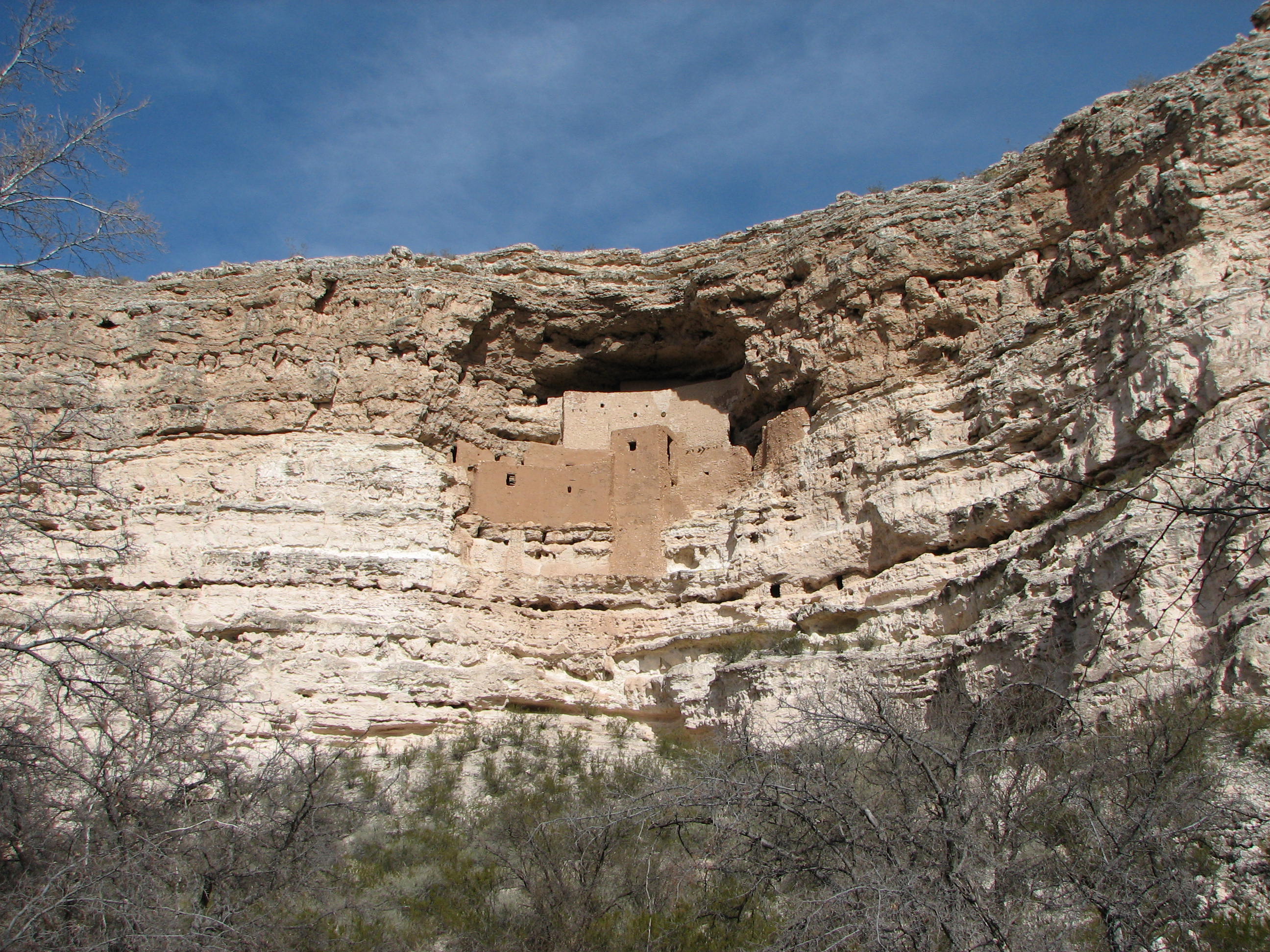
NPS Sinagua cliff dwelling near Camp Verde — short legal trail view from below; interior climbing not allowed.
Access
NPS fee unit. NPS basicinfo weather block publishes Lat 34.61177529, Lon −111.83979694. Typical hours ~9:00 AM–4:45 PM daily (confirm NPS hours page). Self-guided ~1/3-mile trail views the dwelling from below — interior access ended mid-20th century. Montezuma Well unit is ~11 miles away under the same monument.
Safety & respect
Follow NPS rules. No climbing into ruins, no artifact disturbance. Pets leashed per NPS. Curt sacred-site care: look from legal viewpoints only.
Lore note
Misnamed ‘Montezuma’ by settlers; Sinagua cliff dwelling and oasis at the Well. Stick to published NPS history — not ghost-hunt bait. Ancestral Indigenous site.
Map links
Official / public map link · Approx. 34.6118, -111.8398 (public reference only — verify on official maps before travel)
Sources
- NPS — Montezuma Castle (nps.gov/moca)
- NPS basic info / hours pages
A short paved-path monument visit with outsized Southwest signal: cliff architecture, oasis hydrology at the Well unit, and a hard stop on DIY ruin entry.
Archivist’s margin
Settler naming is wrong; NPS interpretation is the lane. Mystery-adjacent curiosity is fine; climbing and secret-room framing are not.