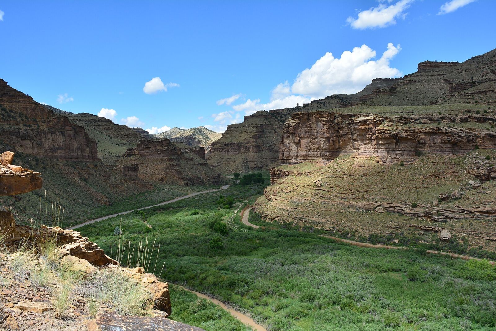
Nine Mile Canyon (BLM) · Carbon County
A 46-mile public backcountry road through Fremont and Ute rock art, homesteads and stage-road ruins — Utah's ‘longest art gallery,’ visited by car and short marked trails, look-don't-touch.
Access
Public BLM backcountry byway; BLM lists no fee. Approach from Wellington (south of Price) northeast on Soldier Creek Road; a loop exit via Gate Canyon toward Myton is possible. BLM lists marked facilities: identified rock-art panels with pullouts, Cottonwood Glen picnic area and restrooms, Daddy Canyon trailhead and parking, and a trail to a Fremont village site beyond Franks Canyon. Much of the canyon floor is private ranch land — stay on the road, signed pullouts and marked trails, and respect closed gates. Services are sparse; carry fuel and water. Contact BLM Price Field Office (435-636-3600) for road conditions. This page publishes no panel coordinates: use the BLM road map and Carbon County guide, which mark the public stops.
Safety & respect
Rock art is irreplaceable: never touch, chalk, trace, wet or climb on panels — skin oils and rubbing destroy the surface. Stay on marked trails; don't scramble to ‘undocumented’ panels or publish their locations. Leave artifacts where they lie (removing them is a federal crime under ARPA). Industrial truck traffic uses the road — drive slowly, pull fully off at pullouts. Summer heat, flash floods in side canyons, and wet clay roads can strand vehicles.
Lore note
Thousands of petroglyphs and pictographs left mainly by the Fremont culture (roughly 1,000 years ago and earlier) and later Ute people, plus 19th-century inscriptions and homesteads. The meaning of individual images belongs to the descendant communities and to archaeology, not to ‘ancient astronaut’ guesswork — this file treats the canyon as cultural heritage, not a mystery to be solved.
Map links
Sources
- BLM — 9 Mile Canyon visit page (facilities, directions, Price Field Office contact; checked 2026-10-03): https://www.blm.gov/visit/9-mile-canyon
- Carbon County, Utah — Your Guide to Nine Mile Canyon (46-mile road, no entry fees, Daddy Canyon hike, free audio tour): https://www.carbon.utah.gov/guide-nine-mile-canyon/
Nine Mile Canyon is a long dirt-and-chip-seal road with a slow reveal: grazing land on the canyon floor, juniper on the rims, and, on the varnished cliff faces between, images pecked and painted over centuries. BLM and Carbon County both call it the world’s longest art gallery. What makes it work for a ledger like this one is that it is a gallery with a public front door — signed pullouts, a picnic ground, a marked trail at Daddy Canyon — and no secret spots required.
Why it’s on the ledger
Most “mystery” lists sooner or later lean on rock art as evidence for something it was never meant to prove. This entry runs the other way. Nine Mile is where you can see the real thing on legal ground and leave the interpretation to the people whose ancestors made it and to the archaeologists who work with them.
Archivist’s margin
There’s no map pin for the canyon or its rock art. Use the BLM road map and the county’s audio tour for the stops, and treat the private ranch gates along the way as closed doors.