Trailhead / site map
Red Rock State Park
A nature preserve on lower Oak Creek outside Sedona, made from part of the Smoke Trail Ranch that TWA president Jack Frye and his wife Helen bought in 1941. The park was dedicated on Oct. 19, 1991.
Access
Arizona State Parks, public, fee area; an environmental education park. Hours (as of Oct 2026, check the park site): the park and facilities are open 8 a.m.–5 p.m., with last entry at 4:30 p.m.; the Visitor Center is open 9 a.m.–4:30 p.m. Entrance fees (as of Oct 2026, check the park site): adult (14+) $10, youth (7–13) $5, child (0–6) free, individual or walk-in $5. Pets aren't allowed and there's no swimming. The park lists guided bird walks on Wednesdays and Saturdays.
Safety & respect
Stay on the trails. There's no swimming and no pets. The ridge trails are exposed to heat and sun, so carry water. Oak Creek can flood after storms, and the 2026 post-fire season upstream makes that more likely. Get away from the creek if it rises or turns muddy.
Lore note
Per the park's official history, Helen and Jack Frye bought the Smoke Trail Ranch on lower Oak Creek in 1941 as a retreat from the East Coast; Jack Frye was president of Trans World Airlines. In fall 1980 Gov. Bruce Babbitt's hiking party was told to leave the property, then privately owned. That led to a 1981 law allowing a three-way land exchange, and the state took the land as a park in 1986. It opened and was dedicated on Oct. 19, 1991. Early materials called it Lower Oak Creek State Park or Smoke Trail Ranch State Park.
Map links
Official / public map link · Approx. 34.8190, -111.8367 (public reference only — verify on official maps before travel)
Sources
- Arizona State Parks — Red Rock State Park (hours, fees, rules; checked 4 Oct 2026): https://azstateparks.com/red-rock
- Arizona State Parks — Red Rock park history (C. R. Eatherly; read 4 Oct 2026): https://azstateparks.com/red-rock/explore/park-history
- Arizona State Parks — Red Rock maps (GPS coordinates to park entrance, 34.818983, −111.83669 WGS84): https://azstateparks.com/red-rock/explore/maps
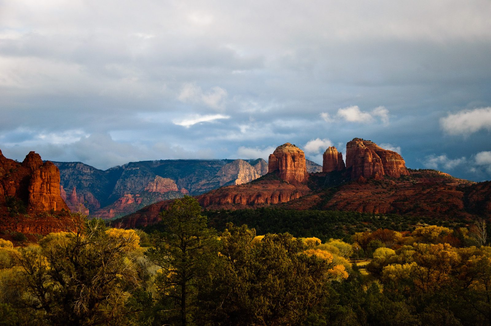
Red Rock State Park follows about 1.4 miles of Oak Creek southwest of Sedona, through green streamside woods with red-rock views on every side. This page covers the park’s history, which is an airline story and a land-swap story.
From ranch to park
The park’s official history sets out the steps:
- Homestead years. The park includes at least five documented homesteads from the late 1800s to the early 1900s. Richard Huckaby got a homestead patent in 1900; Juan Armijo and his son Ambrosio were granted three homesteads in 1913, 1927 and 1939. A 1931 frame house, the Willow House, survives from the Schuerman family’s time.
- 1941. Helen and Jack Frye buy the Smoke Trail Ranch on lower Oak Creek. Jack Frye was president of Trans World Airlines, and the couple used the ranch as a retreat from their East Coast home. The hilltop house known as the House of Apache Fires is a building from the ranch years.
- Fall 1980. Gov. Bruce Babbitt is hiking along Oak Creek with friends when they’re told they’re on private property and asked to leave. He goes to State Parks about making the land a park.
- 1981. A law lets the state exchange trust land across county lines. In a three-way deal, a mining company buys 286 acres of the old ranch and trades it to the State Land Department.
- 1986. After a further federal exchange, State Parks gets the parcel on Nov. 7, 1986, and names it Red Rock State Park.
- Oct. 19, 1991. The park is opened and dedicated, and the Miller Visitor Center is named for longtime Parks Board member Duane Miller and his family.
The park history notes that early printed materials called it Lower Oak Creek State Park or Smoke Trail Ranch State Park.
Sedona folklore lives elsewhere
This page sticks to the park’s documented history. The ledger’s file on Sedona’s modern folklore is Boynton Canyon.
This page is for curiosity and trip planning. It isn’t safety or navigation advice, and Anomaly Ledger accepts no liability for your visit. Check the park site for current hours, fees and closures before you go.
Archivist’s margin
The park exists because a governor’s hike was turned around at a fence, and the paperwork that followed took eleven years.