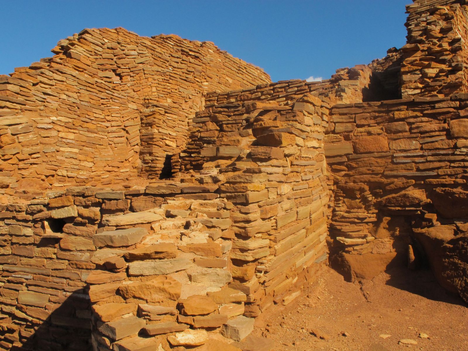
Wupatki National Monument
Last reviewed Next review
North of Flagstaff, NPS pueblo loop after Sunset Crater: published archaeology, fragile walls, no secret ceremonial pins.
Access
NPS public monument often paired with Sunset Crater. Park typically sunrise–sunset; visitor center hours seasonal; confirm NPS. Fees often cover Wupatki + Sunset Crater together. Prefer NPS directions page for navigation rather than inventing pueblo pins. Stay on trails. NPS publishes visitor-center address only (GPS unreliable per NPS); no Lat/Long weather block; use address Maps / NPS directions, not DIY pueblo pins. Open in Google Maps (address query): https://www.google.com/maps/search/?api=1&query=25137+North+Wupatki+Loop+Road%2C+Flagstaff%2C+AZ+86004
Safety & respect
Elevation and weather swings. Cultural site etiquette: no collecting, no off-trail scrambling into fragile pueblos. Curt: no secret ceremonial locations beyond public trails and NPS signs.
Lore note
Multi-cultural Ancestral Puebloan settlements after Sunset Crater eruptions, per published NPS archaeology. Popular ‘mystery’ framing should defer to NPS interpretive materials. Blowhole / wind features appear in visitor lore; treat as landscape phenomena explained on-site, not DIY occult pins.
Map links
Official / public map link · Ancestral archaeological site: no pin; use the land manager’s directions
Sources
- NPS, Wupatki National Monument (checked 25 Oct 2026): https://www.nps.gov/wupa/index.htm
- NPS, Wupatki basic information (checked 25 Oct 2026): https://www.nps.gov/wupa/planyourvisit/basicinfo.htm
Wupatki is a high-desert drive-and-walk among masonry rooms set against volcanic country. Our interest is published settlement history and landscape, not inventing private ritual maps.
Archivist’s margin
If folklore mentions wind from a blowhole or Yaapontsa-adjacent stories, keep them as visitor lore and point readers to NPS and tribal guidance rather than turn-by-turn pins.