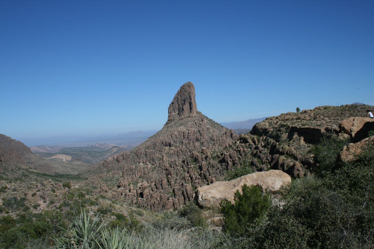
Peralta Trail to Weaver’s Needle View
Tonto National Forest day hike to Fremont Saddle — Dutchman folklore under a public Wilderness skyline, not a treasure map.
Access
Public USFS / Superstition Wilderness. Peralta Canyon Trail #102 from the published Peralta Trailhead (Arizona Highways lists approx. N 33°23.859′, W 111°20.874′). Approach via Peralta Rd (FR 77) north of US-60. Day-use trailhead; wilderness rules apply (no mechanized travel; group-size limits). Verify current USFS alerts, road conditions after rain, and heat advisories before travel.
Safety & respect
Extreme heat risk most of the year; carry more water than you think. Flash flood and cliff exposure are real. No cliff scrambling to ‘find the mine.’ Leave private parcels alone.
Lore note
Weaver’s Needle is the landmark most often paired with Lost Dutchman / Peralta Mine storytelling. Treat gold-seeker tales as cultural history; volcanic geology is not a proven lode. Stay on marked trail — do not leave the path for ‘mine hunts’ or private inholdings.
Map
Official / public map link · Approx. 33.3976, -111.3479 (public reference only — verify on official maps before travel)
Sources
- Arizona Highways — Peralta Trail (published TH GPS)
- USDA Forest Service — Tonto National Forest / Mesa Ranger District
Fremont Saddle is the classic public payoff view of Weaver’s Needle — the spire that keeps Dutchman stories oriented on a map without turning the ledger into a claim-staking guide. The trail is National Forest wilderness recreation: marked, crowded on cool weekends, and unforgiving in summer.
Archivist’s margin
Folklore rides the landmark; legality rides the Forest Service. If a blog offers secret GPS to “the mine,” leave it unread. This place file is for a published trailhead and a saddle view — nothing more.