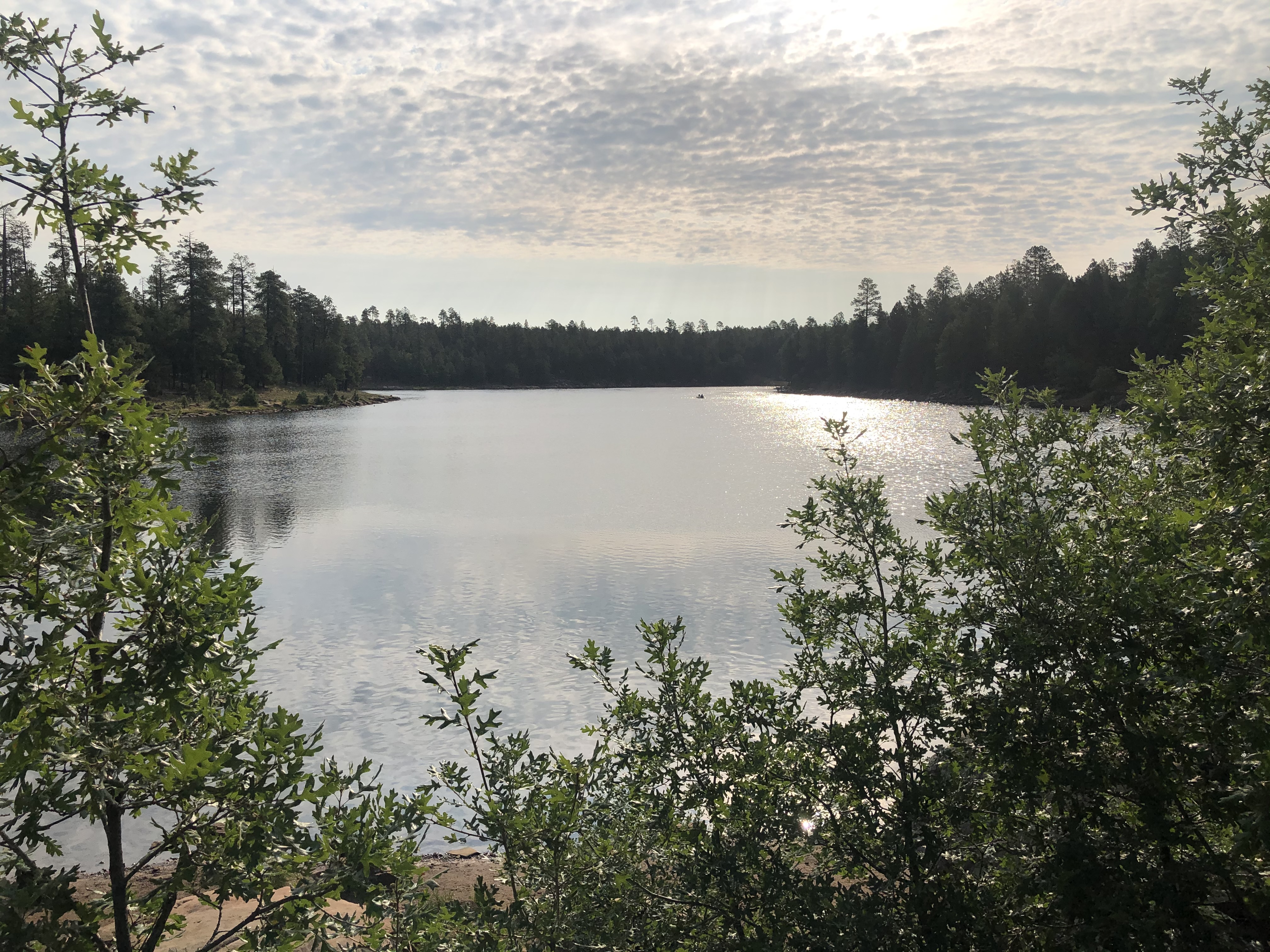
Trailhead / site map
Woods Canyon Lake · Mogollon Rim
Apache-Sitgreaves recreation on the Rim — legal camping and trails beside Arizona’s Mogollon Monster folklore paper trail.
Access
Developed USFS recreation along Rim Road (FR 300). Use Recreation.gov / USFS campground listings (e.g. Spillway) for current reservations and access. Locale map uses Recreation.gov Spillway (AZ) facility coords Lat 34.3319444 / Lon −110.9363889 — verify before travel. Seasonal snow/mud closures common. Camping fees where listed; day-use rules apply. Private cabins/inholdings nearby — obey signs.
Safety & respect
Bear and wildlife awareness; monsoon lightning; leave no trace. Do not harass wildlife ‘for proof.’ Stay on public forest land.
Lore note
Mogollon Monster = Arizona Bigfoot-type folklore. Early widely cited ‘wild man’ newspaper precursor: I.W. Stevens account (Williams News, 1903; also Arizona Republican), later summarized in Arizona Highways. Modern name usage later. Folklore, not confirmed biology.
Map links
Official / public map link · Approx. 34.3319, -110.9364 (public reference only — verify on official maps before travel)
Sources
- Arizona Highways — Neither Hide Nor Hair
- Arizona Highways — Woods Canyon Lake Loop
- Recreation.gov — Woods Canyon / Spillway campgrounds
- USFS — Apache-Sitgreaves National Forests
Rim country gives the ledger a cryptid-adjacent Places slot that is still ordinary National Forest recreation: camp loops, lake shore, and a documented press trail for wild-man stories that never became a specimen.
Archivist’s margin
Count the newspaper history; don’t invent encounter GPS. The forest is the place; the Monster is the rumor.