Trailhead / site map
Mogollon Rim Visitor Center & Rim Lake Vista Trail
A Forest Service log-cabin visitor center on AZ 260 and a 4.3-mile trail along the edge of the Mogollon Rim, about 2.5 miles of it paved. The visitor center is seasonal and is likely closed now; the trail runs beside drops of 150 feet or more.
Access
USDA Forest Service, Apache-Sitgreaves National Forests; public. Visitor center (as of Oct 2026, check the Forest Service site): open Memorial Day through Labor Day only, Thursday–Sunday, 9 a.m.–3:30 p.m. Labor Day has passed, so the building is likely closed for the season now. It's a log cabin on the south side of AZ 260, about 32 miles east of Payson and 27 miles west of Heber-Overgaard, with paved parking just past milepost 282; leashed dogs are welcome. Rim Lake Vista Trail #622: 4.3 miles along the Rim from the Rim Top Trailhead to Mogollon Campground and Trailhead, with about 2.5 miles paved from just west of Military Sinkhole to Mogollon Campground. The main trailhead is just off FR 300, across from the visitor center. The Mogollon Trailhead (west end, 34.321, −110.953) has no potable water. Contact: Black Mesa Ranger District, (928) 535-7300.
Safety & respect
The Forest Service warns that the Mogollon Rim is 'the second most lightning struck area in the world.' Get off the Rim when storms build; they're most common in July and August. The trail 'closely follows the edge of the Mogollon Rim, which is a vertical drop of 150 feet or more in many areas,' so keep children and dogs close and take care on bikes. At about 7,500 feet, expect cold, snow and seasonal closures of FR 300 in fall and winter; check Forest Service alerts before you drive.
Lore note
This is the doorstep of Rim country, where Mogollon Monster storytelling is set. The ledger treats that as folklore with a print history (see the Mogollon Monster case) and doesn't publish sighting locations. This page is about the visitor center and the Rim walk.
Map links
Official / public map link · Approx. 34.3023, -110.8955 (public reference only — verify on official maps before travel)
Sources
- USDA Forest Service, Apache-Sitgreaves NF — Mogollon Rim Visitor Center (coordinates 34.30231667, −110.8954556; season, hours, location; read 4 Oct 2026): https://www.fs.usda.gov/r03/apache-sitgreaves/recreation/mogollon-rim-visitor-center
- USDA Forest Service, Apache-Sitgreaves NF — Rim Lake Vista Trail #622 (length, paving, lightning and cliff-edge warnings; read 4 Oct 2026): https://www.fs.usda.gov/r03/apache-sitgreaves/recreation/trails/rim-lake-vista-trail-622
- USDA Forest Service, Apache-Sitgreaves NF — Mogollon Trailhead (coordinates 34.321, −110.953; read 4 Oct 2026): https://www.fs.usda.gov/r03/apache-sitgreaves/recreation/mogollon-trailhead
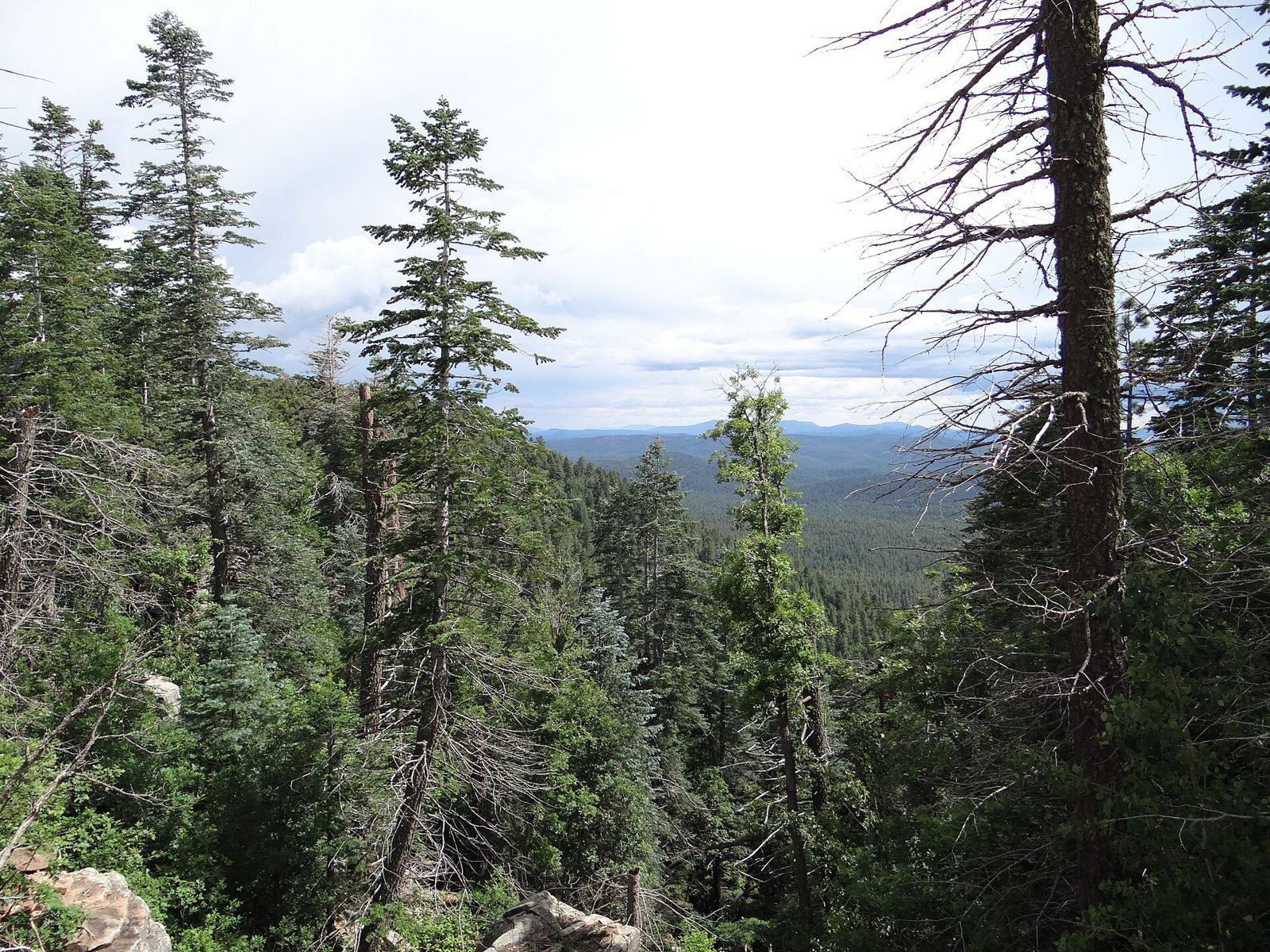
The Mogollon Rim is the long escarpment that AZ 260 climbs east of Payson. Just past milepost 282, the Forest Service runs a small log-cabin visitor center. Across the road on FR 300, the Rim Lake Vista Trail follows the edge of the Rim for 4.3 miles.
Seasonal: likely closed now
The visitor center is seasonal. The Forest Service lists it as open Memorial Day through Labor Day only, Thursday to Sunday, 9 a.m. to 3:30 p.m. Labor Day has passed, so as of early October 2026 the building is likely closed for the season. The trail is a separate matter: check current Forest Service alerts, especially for FR 300, before you drive up.
The walk
Trail #622 runs 4.3 miles along the Rim between the Rim Top Trailhead and Mogollon Campground. About 2.5 miles are paved, from just west of Military Sinkhole to Mogollon Campground, which makes it one of the easier ways to stand at the edge of the Rim. The main trailhead is just off FR 300, across from the visitor center.
Callouts
Lightning. In the Forest Service’s words, “The Mogollon Rim is the second most lightning struck area in the world. Take precautions!” Storms are most common in July and August. Get off the Rim when one builds.
Drops of 150 feet or more. The Forest Service says the trail “closely follows the edge of the Mogollon Rim, which is a vertical drop of 150 feet or more in many areas.” Keep children and dogs close, stay back from the edge, and take extra care on a bike.
Elevation and season. The Rim here is about 7,500 feet. Fall and winter bring cold, snow, and seasonal closures of FR 300.
Nearby on the Rim
Woods Canyon Lake is a short way up the same FR 300 corridor. The Rim’s best-known folklore is covered in the Mogollon Monster in print, which traces the press history and doesn’t publish sighting locations.
This page is for curiosity and trip planning. It isn’t safety or navigation advice, and Anomaly Ledger accepts no liability for your visit. Check the Forest Service site for current hours, closures and conditions before you go.
Make it a day
This is the middle stop on the ledger’s Payson and Mogollon Rim day trip, with Shoofly Village and Payson’s Green Valley Park.
Archivist’s margin
This is the place to stand at the edge of the Rim and see why so many stories get told about the forest below it.